Wildfire
Service
Platform
GLOBAL WILDFIRE INTELLIGENCE SERVICE
Wildfire Service Platform

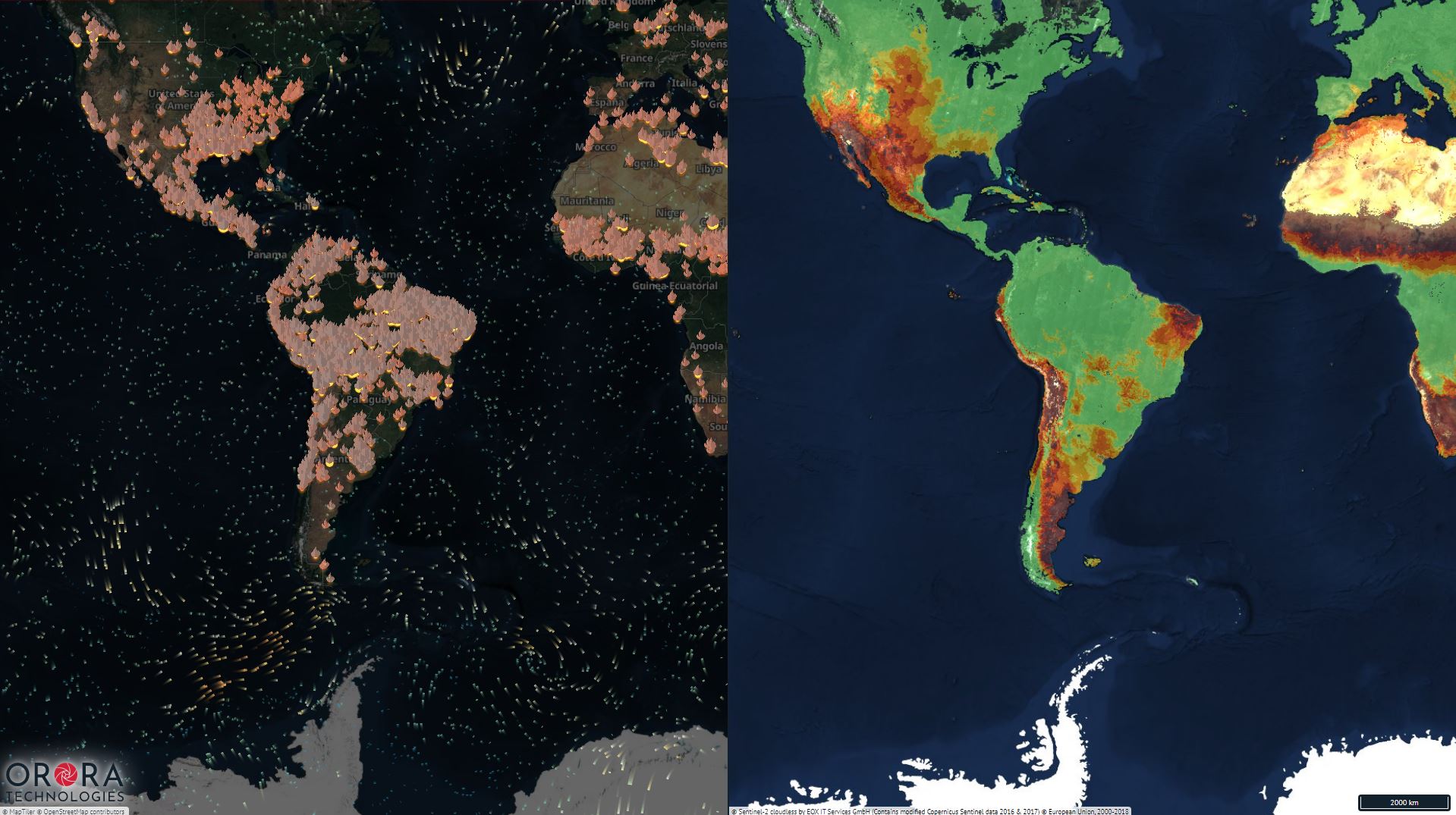
Observe a variation of detailed maps providing continuous updates on wildfire statistics.
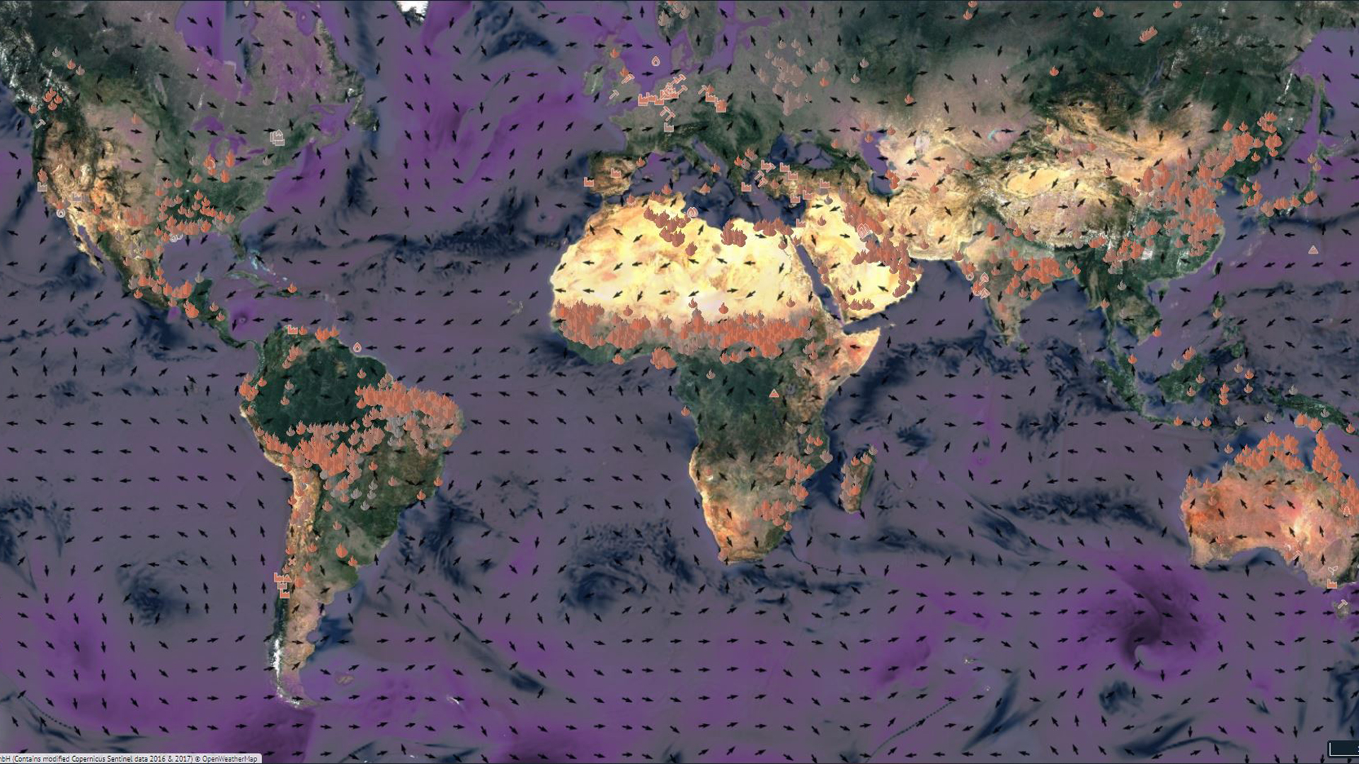
WIND MAP
Visualization of wind speed and direction for fire propagation forecasting.
TEMPERATURE & HUMIDITY
Overlay of relative humidity and temperatures in the area.
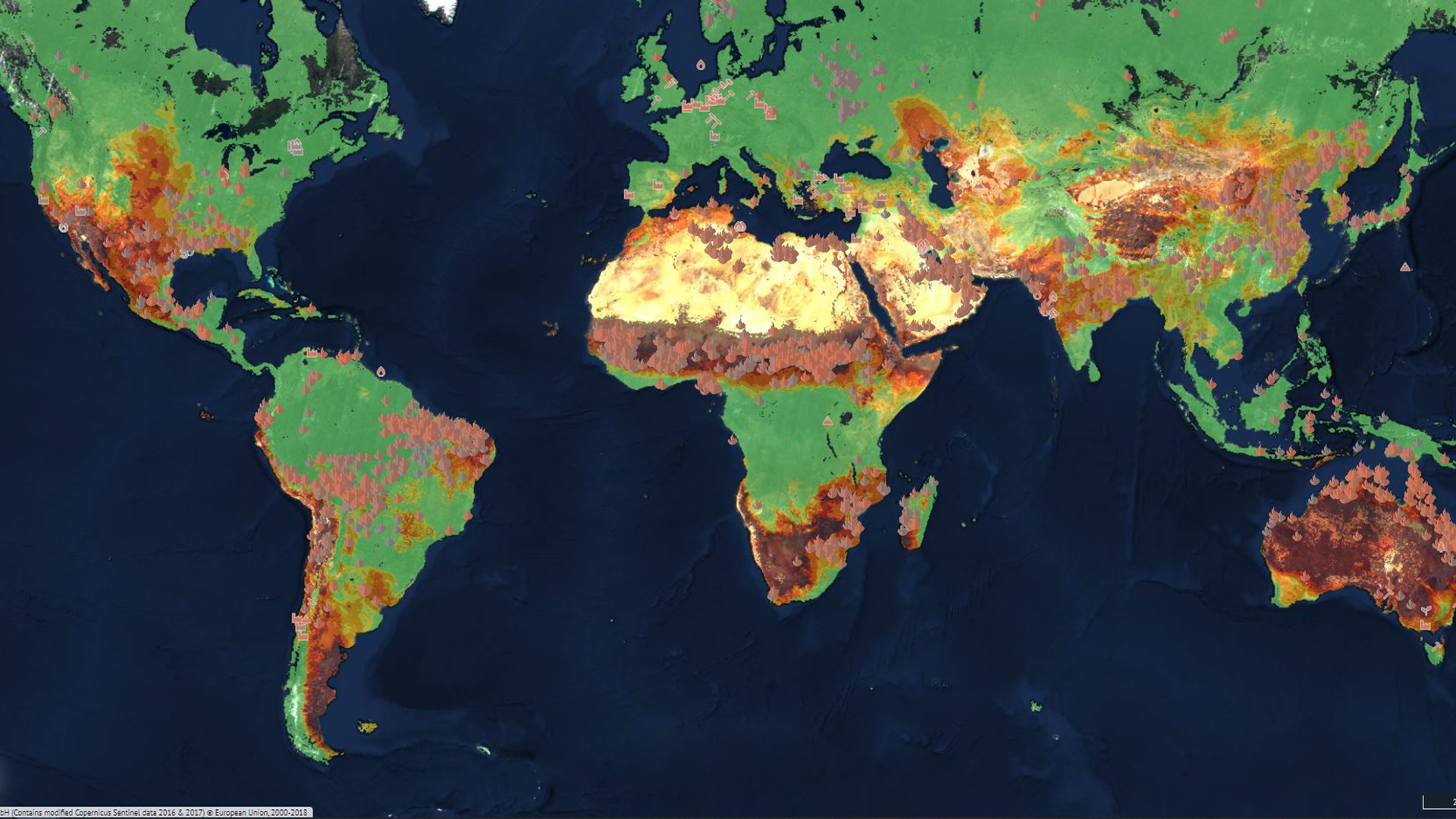
FOREST & VEGETATION
Vegetation maps to help in analyzing the condition on the ground.
TERRAIN & SLOPE
Maps to show the elevation levels of a terrain area.
FIRE DANGER INDEX
Map of the fire risk in the area.
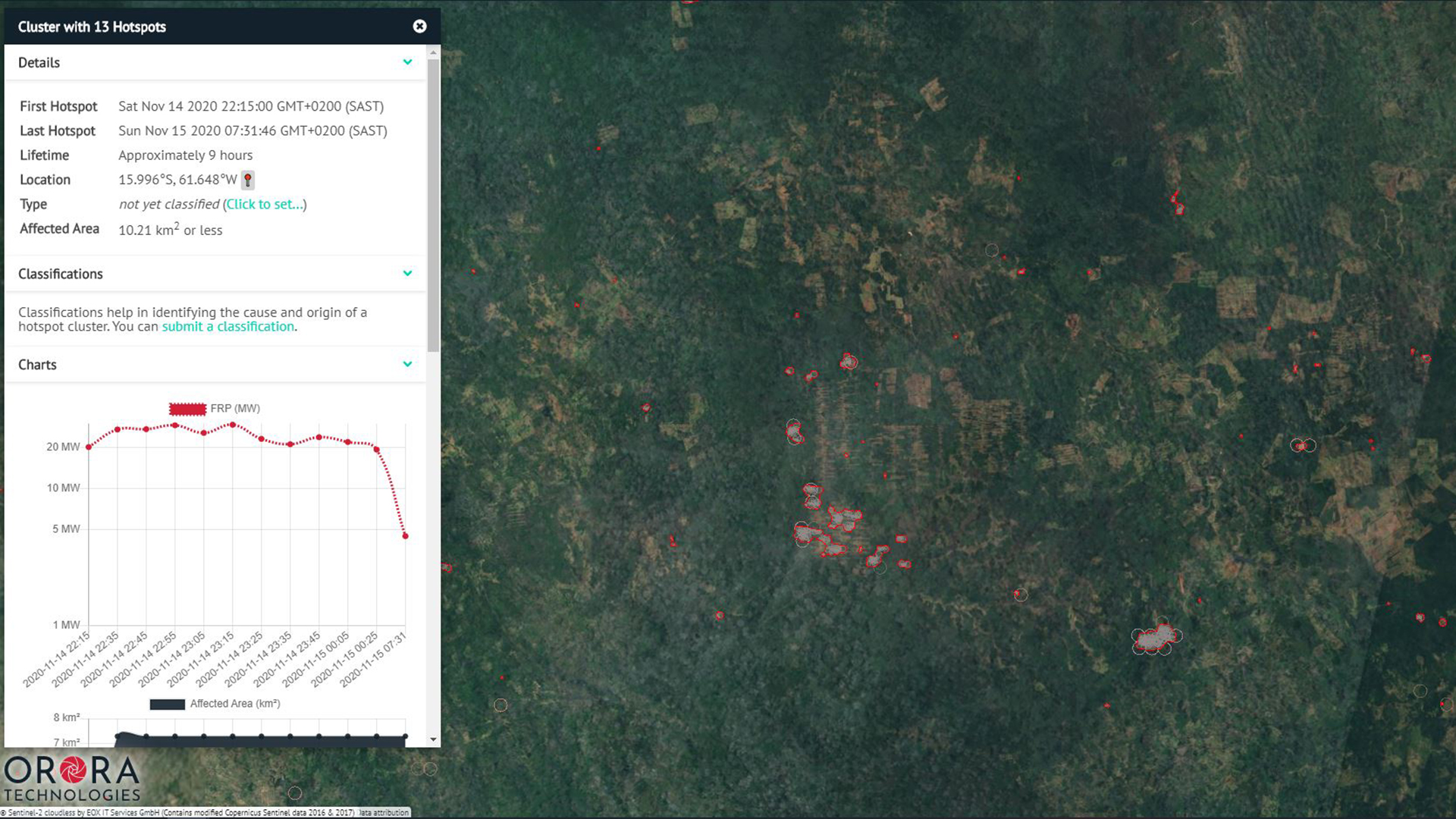
Stay notified with the earliest detection of potential fires in your area with detailed information.
EMAIL NOTIFICATIONS
Receive instant email notifications for new hotspot detections in your monitored area.
FUSED SATELLITE DATA
Multiple satellite data sources are aggregated in real-time.
INTEGRATED CUSTOMER DATA
Individual data sets for vegetation, weather stations, cameras and sensors or detailed area files can be integrated to enhance results.
LOCATION & SIZE OF FIRE
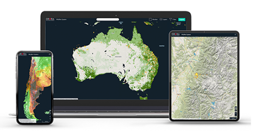
Receive precise fire detection data on any device.
Monitor your area where multiple hotspot detections are occurring.
2D, 3D, AND TOPOGRAPHICAL MAPS
Choose from multiple map options to gain the best possible terrain information.
LIVE FIRE TRACKING
Track the fire while it is actively burning.
FIRE PROPAGATION FORECASTING
Top in class wildfire algorithms that stimulate the fire spread and environment damage (coming soon).
ASSET MONITORING
Create a customized area of your assets to monitor when they are at risk from active fires and receive individual notifications.
Understand and analyze the effects from the wildfire damage in your area.
FIRE ORIGIN & IGNITION TIME
Investigate with historical data to track the source.
BURNT AREA & LOST BIOMASS
Evaluate burn scars and damage to the environment.
LONG-TERM FIRE STATISTICS
Export data on wildfires for precise measurements.
CLIMATE IMPACT REPORT
Get automated reports on wildfire climate impact (coming soon).
SAAS PLATFORM WITH REAL-TIME ALERTS
Available on all Devices via WebApp or API Integration

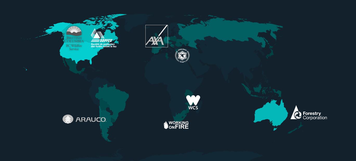
COVERING >300 MILLION HECTARES FOR OUR CUSTOMERS
Used by Corporates and Forest Services around the World
CONTACT
Request more information.
CONTACT
Rua Luis Spiandorelli Neto
30, Sala 301
Jardim Paiquerê
Valinhos-SP, BraZil, CEP 13271-570
Tel: +55 19 3246 1534


